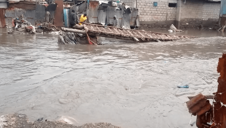
Heavy rains, floods cause rise of safety, environment risks

The heavy rains, ongoing floods and associated disaster risks have raised concerns over safety standards and environmental assessment.
Due to these concerns in the construction industry and on infrastructure development, professionals working in the built environment domain are demanding tighter collaboration among geologists, surveyors, architects and engineers.
High on the list of hazard concerns is that relating to the collapse of buildings and roads as witnessed in various parts of the country.
According to the National Construction Authority (NCA), from 2009 to 2019, a total of 86 buildings collapsed (100 cases since 1990). The highest number was recorded in 2015 when 21 buildings collapsed and an estimated 200 people lost their lives.
The subject of collapsed buildings featured prominently at the recent Geo-East African Conference and Expo during a panel discussion on engineering geology, geo-technics, seismology and hazards.
The discussions demanded closer collaboration among geologists, surveyors, architects and engineers in addressing hazards in the natural and built environment.
The built environment touches all aspects of life, encompassing the buildings we live in, the distribution systems that provide water and electricity, roads, bridges and transportation systems.
The study of the built environment is interdisciplinary and includes visual arts, architecture, engineering, urban planning, history, interior design, industrial design, geography, environmental studies, anthropology and sociology.
Embracing the wide scope of the study of the built environment, Prof Edwin Dindi, a geology lecturer at the University of Nairobi currently based at the Comprehensive Nuclear-Test-Ban-Treaty Organisation (CTBTO) in Vienna, Austria, emphasises the need for awareness of the radioactivity threat.
He explains how the CTBTO supports international peace and security with a unique comprehensive verification system, which can detect a nuclear explosion anywhere in the world.
“The CBTO has 400 geostationary satellite stations globally and an international monitoring system that provides a steady flow of real-time data to the International Data Centre in Vienna.
“The centre also gathers data for seismic hazards and phenomena, such as earthquakes, volcanic eruptions, meteor strikes, and non-nuclear explosions such as the blast that devastated Beirut in 2020,” says Prof Dindi.
The system gives geologists an opportunity to access data monitored in multiple environments. The centre acquires, analyses and disseminates data and products to support the 187 states signatories to the Comprehensive Nuclear-Test-Ban-Treaty.
The data serves as a non-instrumental building code that can help in creating the right design of houses that can, for example, mitigate the challenge of building in earthquake-prone areas.
Buildings collapse
Architectural Association of Kenya (AAK) Chairperson Florence Nyole says architects use geoscientific information, to an extent, through the Building Code. “But we need current information in the wake of buildings collapsing. There is a large gap in the application of the Building Code that has led to poor design and inappropriate construction techniques.
“Many buildings in Kenya are unsafe as seen in the collapse of buildings. Site visits for geological surveys involving architects, engineers and surveyors must be made mandatory before the commencement of construction,” she says.
“Information from geoscience databases and the geotechnical survey should also be mandatory and urgently made available to be applied and used. Seismic information should be incorporated in the Building Code being updated by the NCA.”
Regulate contractors
Engineering Board of Kenya Chairman Erastus Mwongera says the gaps must first be identified to discuss how they should be solved. “In the built environment, every professional has a role to play. So the experts and professionals must work together.
“During the Covid period, we were really tested. This was the time of the highest rate of the collapse of buildings. The board decided on structural adjustments. There was no proper geo-technical investigation and there was a lack of geo-technical knowledge. NCA had to regulate contractors and register them in the right category.”
Prof Zacharia Kuria, a geology lecturer at the Technical University of Kenya says the main cause why a part of the Mai Mahiu road collapsed in April last year was inadequate geological survey and geo-technical information. Concrete reinforcement and the building of bridges were recommended as remedial measures.
Engineer Mwongera decries the amount of investments put to correct an anomaly that would have been detected earlier in the Mai Mahiu road case.
“Sometimes we get carried away by cheapness. Cheap is expensive and we come to regret it later after ignoring the right approach. “


