Develop land use policies to minimise conflict

The absence of proper land use plans is to blame for the increased conflicts over use of natural resources that, on many occasions, have led to loss of lives and property.
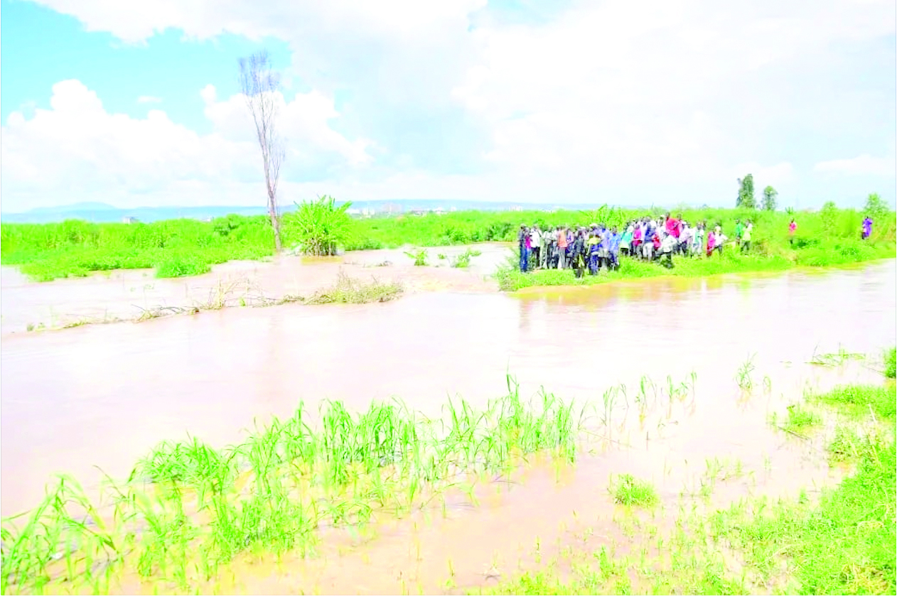
Accelerated effects of climate change, including floods, locust invasion, conflicts over grazing land in Samburu, encroachment on wetlands and road reserves, drying up of watering places in Taita Taveta and changing weather patterns is largely because of lack of land use policies that provide guidance and restrictions on natural resource use.
There was a time each Kenyan was asked to plant a tree, largely to play a role in environmental protection.
Nearly all public agencies included tree planting in their corporate social responsibility budgets, funds from constituency development funds were invested in the project, and county governments spared budgets for the same. A noble project it was and a huge investment.
However, outside gazetted forest land, little attention was paid to the space and land where such tree planting exercise was going to take place, and in the cases where community space was to be used, on who would eventually own the trees, aware that many counties are yet to develop land use plans.

The National government, through Parliament has already enacted land regulations, and now, county governments must put in place land use plans and policies that will regulate access, proper use and improved natural use management leading improved sustainable livelihoods, security, equity and biodiversity conservation.
Such proposals must be included in the County’s Integrated Development Plans. And the development of such policies must create proper governance structures through the participation of the local communities. This will ensure that implementation is owned by the people.
Given that most of the areas targeted for tree planting, watering points, water catchment and water flows, grazing and minerals are protected under community land, counties must put in place measures to ensure that current forest cover, water quality, quantity and quality of biodiversity are maintained through a system of gazettement as community conservation areas that are supported by regulatory frameworks and management plans implemented by government, private sector and local people for posterity.
Climate change is not waiting for us; the development of proper land use policies and their implementation including on disaster management, water tower protection, forest cover recovery and distribution of proceeds of minerals is urgent.
One of the best land use policies that counties can borrow from is the Tana River and Lamu counties policies developed by two governments, Ministry of Lands, the National Treasury and Nature Kenya.
The land plan has been very instrumental in helping deal with the resource-based conflicts synonymous with the counties, especially Tana River pitting the pastoralists against crop farmers over use of water.
It has helped in the regulation of the use of the Delta’s resources; to make sure they are used wisely to support the sustainability of the various livelihood options; to promote security, equity and effective service delivery; and to ensure that biodiversity remains part of the heritage of the local people.
Similarly, in Lamu, the land use policy has seen less tensions and conflicts even with the implementation of major infrastructural developments including the Lamu Port South Sudan Ethiopia Transport Corridor. — The writer is the programmes manager, Media Council of Kenya


